The Earth in the Palm of Your Hand
Getting There from Here for the Easily and Uneasily Confused

Whether you're flying to Tokyo, driving to the Grand Canyon, walking around the corner for a liter of milk, or launching a submarine-based ICBM into the heart of enemy territory, the most important point in any journey is the start—right here, right now, at this very instant in space and time. If you have no idea where you are, you'll never find the way to anywhere else.
So one of the great $12 billion bargains in the history of public spending came about in 1973, when the US Defense Department authorized its NAVSTAR program—or later in the same century, when Presidents Reagan and Clinton handed over the program's benefits, free of charge, to the benefit of all humankind.
The American Global Positioning System—or GPS—is an ingenious network of 24 individual satellites, all circling the planet in unique, evenly distributed orbits 12 miles above the Earth. Each satellite radiates a weak, non-stop signal that includes its excruciatingly accurate time and location. The idea being that, anywhere on Earth (or in the air), a receiver will find at least four of these signals and calculate—to a matter of millimeters—where it lies.
From there, it's a simple series of steps (yeah, sure!) to figuring out the precise route between two geographical points, along with all the mountains, rivers, roads, buildings, trees, and fire hydrants in between. The result has been a near-miraculous revolution in the ease, safety, and reliability of modern travel, not just for elites and ICBMs, but for simple lost folk like us.

Well, Maybe…
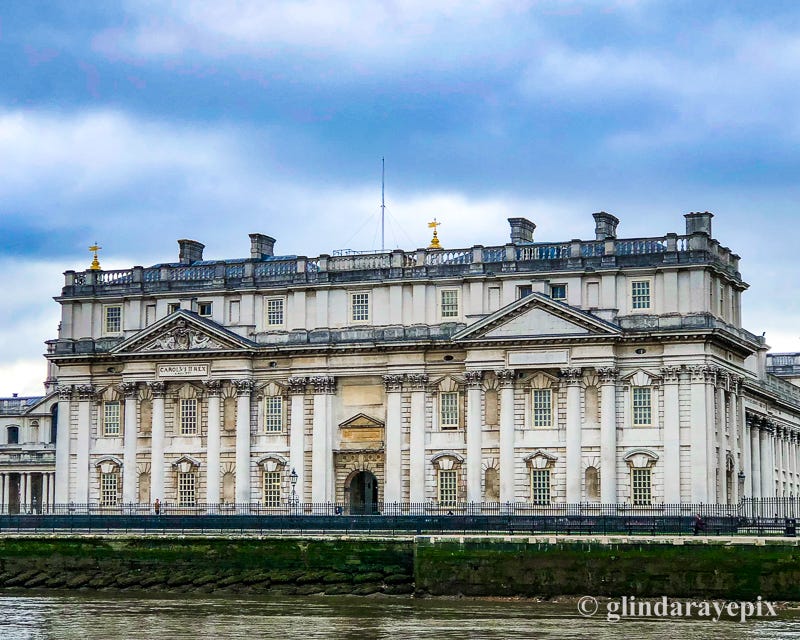
When Ben was a restless 12-year-old, his father's office sat in the cellar of their house in Bruxelles, Belgium. Whenever Ben came home from boarding school, they'd huddle there and decide which of Dad's business trips the boy could join. On the wall, there was an enormous Michelin Road Map of Europe, where Dad's secretary had traced in bright red every route he'd driven. After hours, they'd sit down there, and Dad would tell great stories, as they plotted how to fill up the few remaining empty spaces with Josephine's felt marker.
As far back as the dawn of human migration, maps have served as much more than simple informational tools. They've represented romance and mystery, danger and exotica, the leaky limits of human knowledge, and the inspired reaches of our imagination. The unexplored spaces on Greek parchments detailed the serpents and monsters that awaited the intrepid traveler beyond the last pier in Athens harbor. The Flemish Gerardus Mercator took years to bend and form the Seven Seas into the attractive, intricate, and hopefully navigable blocks of his famous projection.
Even in modern times, with our preference for efficiency over splendor, maps represent the best of our cultures:
In the explosion of tourism that followed Napoleon's exit at Waterloo, German and French maps radiated a colorful obsession with perfection in engineering that continues to this day.
The British love of the small-scale life translated into gorgeous walking maps in subtle hues, with footpaths and field gates intersecting the elevation lines of every hill and dale in the British Isles.
In the 20th century, the grand scope of American generosity and salesmanship found its reflection in the more than 8 billion free road maps handed out with a windshield scrub at the filling stations of the road-and car-obsessed country.

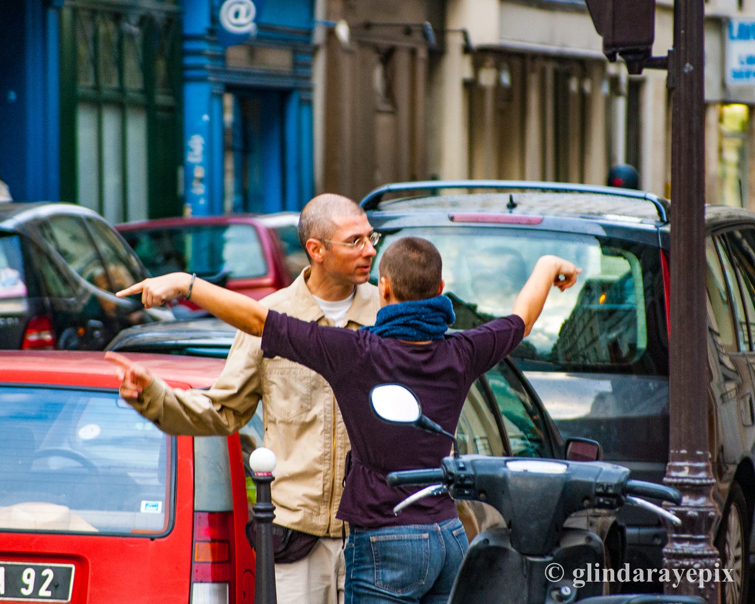
Countless battles throughout history have been won and lost based purely on the accuracy of the invader's geographical and topographical information—their maps. We also imagine that countless divorces have been hurried along by missed right turns and a driver's explosion of frustration at the navigator in the shotgun seat. Map-reading has always been a very serious business.
And yet…
Early in World War II, when Adolf Hitler kept promising an invasion of the southern English coast, he had all the maps he needed. But the always ingenious British took down or turned every directional post and street sign from Kent to Cornwall. Fortunately, the strategy was never tested, but for postwar schoolboys, there was the delicious image of sullen, confused Nazis careening all over the countryside, while the plucky English housewives, retirees—and schoolboys, of course—picked them off one by one.
Well, Maybe…
We still recall the drudgery of constantly switching back and forth between country, state, and city maps, all of them in a ugly wad of worn, ripped, and half-opened paper on the back seat of the rental car—until the sun set and rendered the entire invisible mess useless.
Nowadays, we just press the plus and minus icons on our backlit cell phones to zoom in and out. We might have no idea where we've just passed, but at least we arrive sane and healthy. And in cities with a reputation for besieging tourists, we no longer give ourselves away by bickering and fumbling a mountain of paper. No, we're just on the phone, same as any other busy, respectable local. Or so we pretend.
The other problem with maps that seems to have disappeared is clutter. Cities and towns make dense subjects, packed with endless opportunities and obstacles—streets and squares, palaces and monuments, restaurants and hotels, one-way lanes and dead ends, shops and public toilets by the thousand. There was always an issue with how much information you could include in a map without making it unreadable—and usually the answer was not nearly enough.
These days, any map program lets you focus on just the Irish pubs or just the Punjabi shops in just the neighborhood you're exploring. Maps, guide books, magazine articles, and all have collapsed into that tiny, impact-protected toy in the palm of your hand.
Well, Maybe…
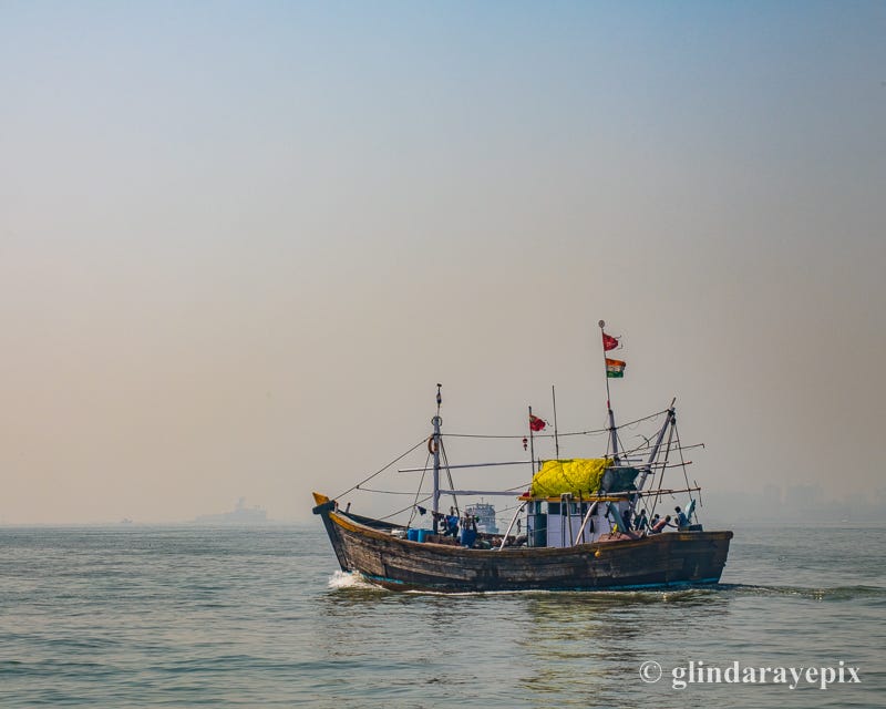
On the very first morning of our first trip to Mumbai, we awoke for our usual 7AM stroll and left the hotel with Google Maps and iPhone in hand. Ben had always wanted to visit the Sassoon Docks, one of the legendary points in the constellation of the ancient British East India Tea Company. One of the walking routes on the cell phone would take us along the picturesque Colaba Seawall, so we naturally selected it. What we didn't know was that Google Maps, at least in Mumbai, fails to differentiate between a causeway, a quiet side street, and an alley through a slum.
We found the error of our way, when we turned a corner to a sudden, very loud shriek of surprise. The old lady arranging her sari in her open tarpaulin home recovered and returned our "Namaste" with an embarrassed grin. Four beautiful children playing cricket in the gutter stopped to let us pass, then followed along, gleefully demanding "10 rupee!" (we later decided that the 10-rupee thing was a game we could play with children all over the city). A busy mother glanced up from where she was castigating her baby for defecating in the street and not over the drain like a good boy. By a hydrant, a man in his underwear was soaping himself up, while his friends waited with buckets of cold water to rinse him off. No one seemed to mind the invasion—except the embarrassed invaders, of course, who couldn't get through fast enough.
It's possible that someday someone will scratch at the annoying microchip in their neck and look back nostalgically on the good, old, romantic days of iPhones and Google Maps. For now, we have to begrudgingly respect the progress these tools represent in addressing the bugaboos of traditional navigation. We might not wax poetic over their beauty and virtue, but… We haven't carried a working map in years.